Affichage de 22 résultats

Description archivistique
18 résultats avec objets numériques Afficher les résultats avec des objets numériques
Pièce · 1853 - 1867
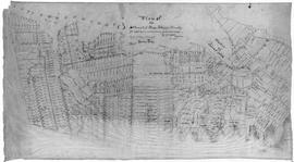
Original hand drawn map showing Tatamagouche and Area - DesBarres Grant lots and others. Showing county lines, lots, owners, waterways. Dates 1853 - 1867. Surveyed by George Hattie, Land Surveyor 2003.7.1
Pièce · 1841
A plan of the settlement of River John and vicinity shows the area from Seafoam to Tatamagouche, including land grants and owner names as well as many details and waterways. 2017.32.1