Series
·
1909-1925
Part of Eastern Shore Archives map collection
98 results with digital objects
Show results with digital objects
Item
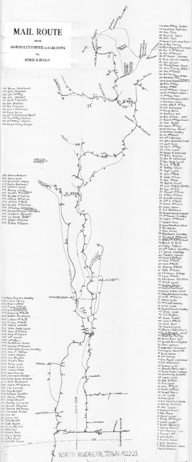
·
1922

Item
·
1918
Part of Frank Patterson Collection
Item
·
1911
Item
·
1908
Series
·
1896-1907
Part of Eastern Shore Archives map collection

Item
·
1901

Item
·
[1900]

Item
·
1900

Item
·
1895